
Methane intelligence · United Kingdom

See every molecule. Continuously.

IMMER integrates satellites, drones and ground sensors to monitor, measure and report methane emissions — turning wasted gas into accountable data.

What IMMER stands for

Integrated Monitoring & Measurement of Emissions, and Reporting.

The Problem

Methane is money going up in smoke.

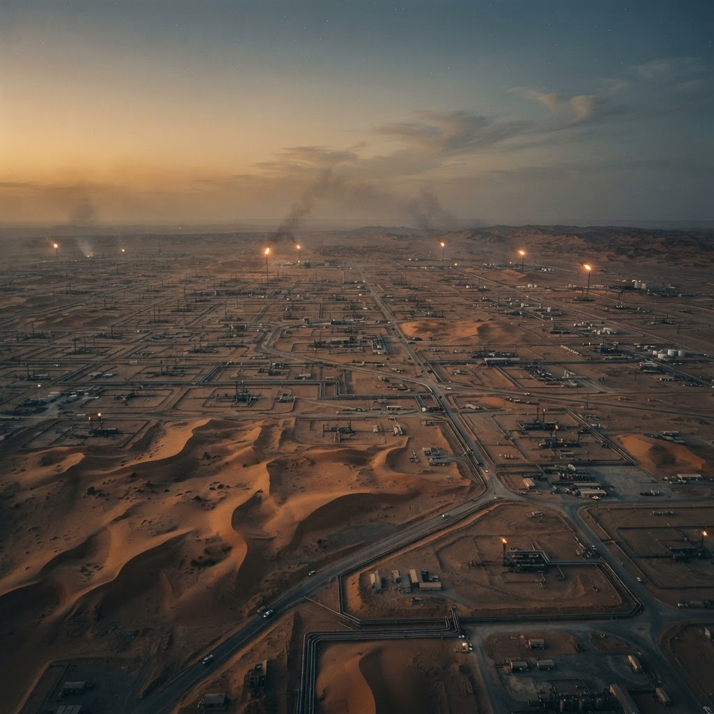
Extraordinary volumes of natural gas (methane, CH4) are flared by oil & gas operators, or lost through venting and leakage across oil & gas, landfill, anaerobic digestion, wastewater and agriculture. This is a major economic loss for investors and host governments — and a neglected business opportunity.

“The global oil and gas industry is letting enough natural gas to power Japan, South Korea and Australia for a year escape — literally — into thin air.”
US Environmental Defense Fund

Last year the world flared enough gas to power the entire AI industry — twice over.

World Bank satellite tracking since 2012 shows neither flare volumes nor flaring intensity improving.

Flaring and venting are two sides of the same coin — and spot observations are not enough. Proper regulation and management demand continuous monitoring.

  • Oil & gas — flaring and venting
  • Landfill
  • Anaerobic digestion
  • Wastewater
  • Agriculture

How IMMER Works

One integrated picture. Space, air and ground.

SPACEAIRGROUND
  1. Space

    Satellite monitoring

    Thermal (VIIRS) and SWIR sensors detect flares anywhere, onshore or offshore. A proprietary technique stacks hundreds of daily Sentinel-5P images to reveal methane plumes and estimate hourly emission rates for sites emitting around 1 tonne per hour or more.

  2. Air

    UAV-borne sensors

    Drone-mounted methane detection reports facility-by-facility where satellite resolution can’t reach — rapid deployment, autonomous flight, accurate geolocation, on-site “first-look” emissions intelligence and full GIS reporting.

  3. Ground

    Continuous monitors

    Continuous ground monitors and operational data, fused with sensor data, AI analytics and expert knowledge.

The result: observed emissions metrics for objective ESG reporting — credible methane accounting that operators, regulators and investors can all trust.

Capabilities

What we deploy for your assets.

  • Flaring surveillance

    Satellite thermal imaging of flares across offshore and onshore operations. Experience reviewing UK operations — offshore, onshore gas terminals and refineries — and internationally.

    • UK offshore & onshore
    • Guyana
    • Angola
    • Oman
    • Egypt
  • Emissions detection & measurement

    Access to major public sensor data (IMEO, GHGSat, Carbon Mapper) for reconnaissance, plus proprietary Sentinel-5P stacking that produces plume images and hourly emission-rate estimates validated against independent estimates.

    • IMEO
    • GHGSat
    • Carbon Mapper
    • Sentinel-5P stacking
  • Drone reconnaissance

    Airborne methane detection with National Physical Laboratory-tested methodology across oil & gas facilities, UK landfills and anaerobic digesters. Next-generation sensor trials (e.g. LiDAR) begin Autumn 2026 under a confirmed M4B project with NPL.

    • NPL-tested methodology
    • LiDAR trials — Autumn 2026
    • M4B

The Kite's Eye

Nothing on the ground escapes the kite's eye. Nothing at your facility should escape yours.

Evidence

Proven in the field.

Real assets, real measurement. A selection of the sites where our monitoring has stood up to independent scrutiny.

Hassi Messaoud — Algeria · Oil & gas

Algeria · Oil & gas

Hassi Messaoud

40k → 13.75k

tonnes of methane per year

Satellite monitoring tracked methane from one of the Sahara’s largest fields falling year on year — evidence of real progress toward Algeria’s 2030 target, published in peer-reviewed work.

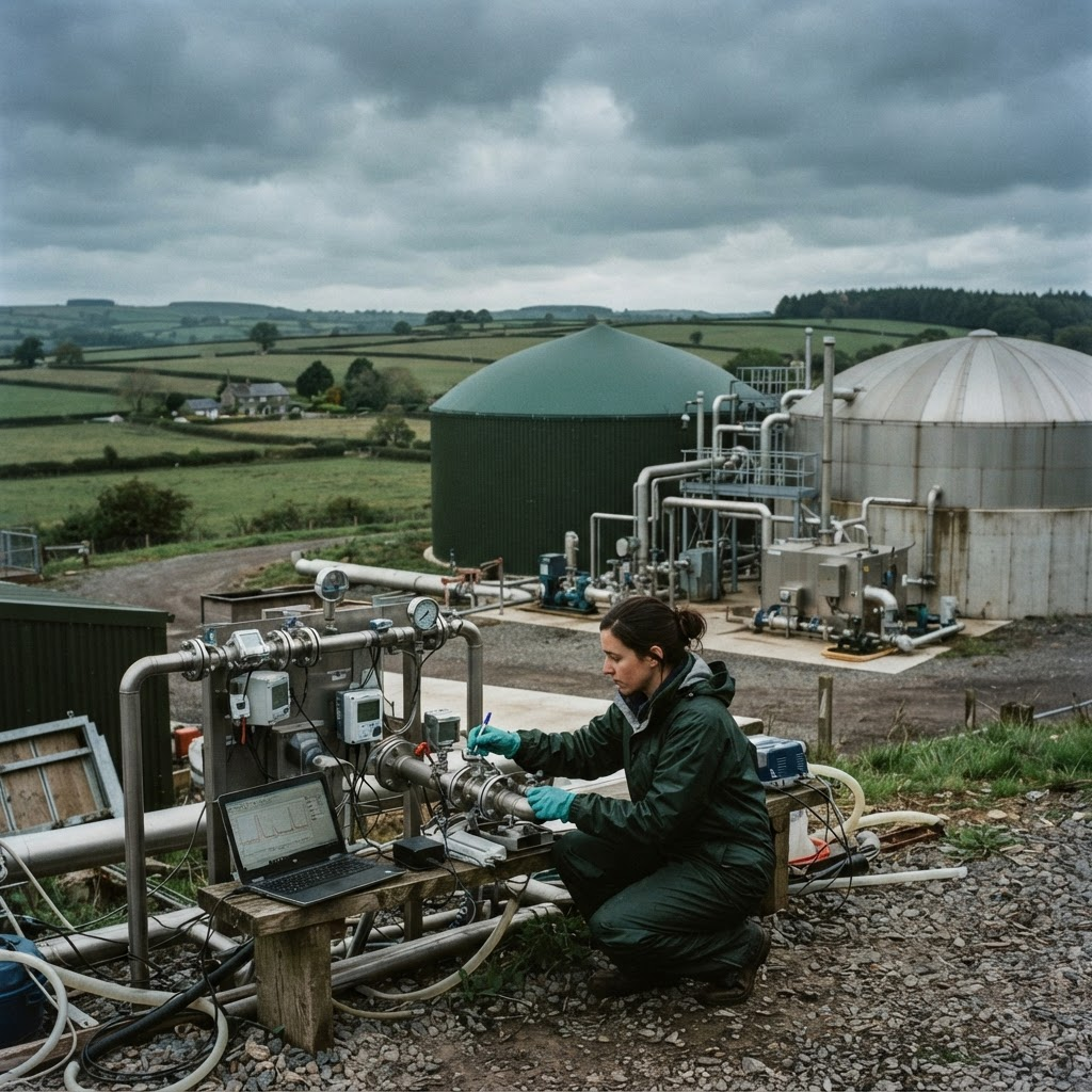
Landfill plume mapping — Madrid & Athens · Landfill

Madrid & Athens · Landfill

Landfill plume mapping

Hourly

emission-rate estimates, two sites

Proprietary image stacking turned daily Sentinel-5P passes into meaningful plume images and hourly emission-rate estimates at the Pinto and Fyli landfill sites.

NPL partnership — United Kingdom · Trials

United Kingdom · Trials

NPL partnership

18+ months

with the UK’s National Measurement Institute

More than eighteen months of independent test-and-evaluation with the National Physical Laboratory, across UK oil & gas facilities, landfills and anaerobic digesters.

More in preparation

Ask us for more detail.

Further operator case studies are being prepared for publication. We can share the evidence closest to your operations directly.

Request the evidence pack

Team

Deep industry expertise, integrated.

Directors

  • Photograph placeholder

    David Bamford

    Founder & Executive Chair

  • Photograph placeholder

    Gareth Morgan

    Director

    Founder & CEO, Terrabotics Ltd

    terrabotics.co.uk
  • Photograph placeholder

    Ben Lunnon Wood

    Director

    Founder & CEO, Big Sky Theory Ltd

    bigskytheory.co.uk
  • Photograph placeholder

    Greg Coleman

    Director

    Founder & CEO, Future Energy Partners Ltd

    future-energy-partners.com

Key associates

  • Nick Kinsella

    Remote Sensing & GIS Specialist

  • Claire Bird

    Associate

    Research

  • Sophie Smith

    Associate

    Accounts

Key partner

Jon Helmore

Senior Scientist, Environmental Emissions Metrology Group, The National Physical Laboratory.

npl.co.uk

Get in touch

Know what your facilities are emitting — before anyone else tells you.

Tell us about your assets and we will scope a facility review: satellite baseline, drone survey plan and continuous reporting options.